Executive Summary:
A GPR survey of the GNO Bridge at the automatic toll tag reading loops was conducted to locate rebar and determine the depth of concrete cover over the top most mat of rebar. The results of this survey indicate that the top rebar mat is located between 1.5 inches and 2.5 inches below the driving surface.
GPR Information and Background:
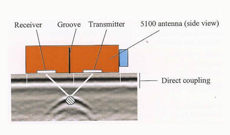
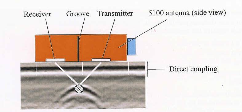
GPR has been used extensively in the past for geological and archeological exploration and mapping; however, it has only been since 2001 that GPR had the capability to image shallow targets. The system used for this project has the ability to image targets to a depth of 18 inches with an accuracy of ± 1/16inch. The 1500 MHz antenna broadcasts a microwave energy pulse of less than 1/6th watt at a rate of 100 ns. This energy pulse is timed as it propagates through a material noting when a return pulse arrives. The time and strength of the return pulse is captured and analyzed and interpreted graphically. This process is shown in the figure below.
Project Layout:
Bridge survey area was laid out in a 1ft x 1ft grid pattern with the origin located 18 inches in from the parapet wall and 12 inches in from the expansion joint edge located in the left hand lane. The X axis runs parallel with the traffic flow.
Project Results:
The bridge deck top rebar mat is located a minimum of 1.5 inches and a maximum of 2.5 inches below the driving surface as shown in the following figures. Figure 1 is a contour map of depth of concrete cover over the top rebar mat with colors representing increasing depths beneath the surface.

Figure 1
The following figures are GPR images at increasing depths starting at 1.5 inches continuing to 3 inches below the driving surface showing the entire rebar mat located with in the survey area.

Figure 2

Figure 3

Figure 4

Figure 5
If you have further questions or require clarification of any of the points or topics stated or made above, please contact us.
Sincerely,

Rennis Branson
Southern Inspection & Testing, Inc.


